世界の古刊地図
Ancient maps of the world
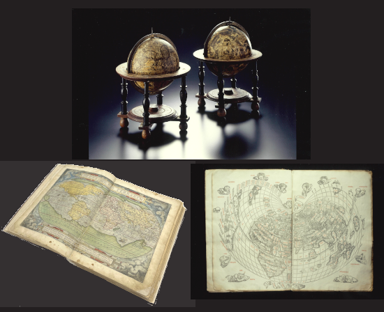 | ヨーロッパでは探検と航海による地理的発見の成果として地図が作られ、さらには地図帳に発展した。このコレクションには、有名な地理学者が作り上げた地図や地球儀・天球儀などが含まれ、「世界の探検と航海」のコレクションと関係付けることで文化の移動を確認することができる。 | ||
| In Europe, maps were created based on the geographical discoveries made by exploratory expeditions and voyages, in time resulting in atlases containing maps of the whole known world. This collection includes maps, globes, and celestial globes made by famous geographers. Used in combination with the World Explorations and Voyages collection, it is possible to use these artifacts to trace the spread of world cultures. | |||
| コレクション数 70点 | |||
| ♦Old and Antique Maps(古刊地図コレクション・データベース) |